News
Beating of the old Borough Bounds
Monday 3rd May 2010
On a sunny May bank holiday, a large group of people took part in the traditional beating of the bounds, following the old boundary of the Lostwithiel parish as it was in 1685.
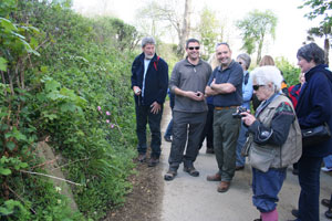
Meeting at the Duchy Palace, the group started from the first boundary stone which was at the east end of the medieval bridge. John Pegg lead the walk and gave a historical background to the old parish boundaries. At each boundary stone (or boundary stone site), the Mayor Vic May and Mayoress Angie presented each walker with a penny, according to tradition.
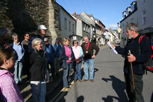 Meeting outside the Duchy Palace |
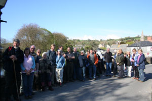 On the medieval bridge, site of boundary stone 1 |
 Another boundary stone marked with 'Pill' |
 Boundary stone 2 marked with 'B' |
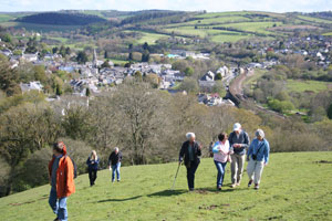 Walking up a steep hill overlooking the town |
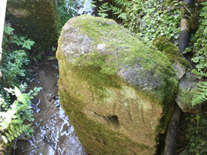
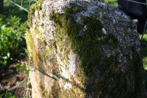
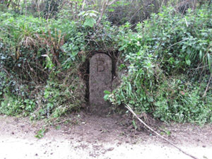
 Examining the newly uncovered boundary stone 3 at Cowbridge |
Uncovering the old Boundary stones
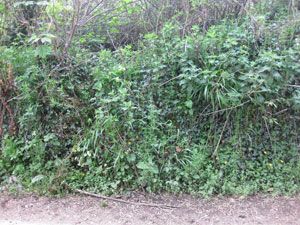
Lostwithiel's boundaries were altered in 1935 and so the last time these stones were inspected by the townspeople was in 1926. Since that time there have been road widening and other disruptions subsequently causing some of the eight stones to become mislaid. Others that remained became overgrown in hedgerows.
Locating some of the missing 1685 boundary stones required a bit of detective work by John Pegg, who found and uncovered the boundary stones at Hillhead and Cowbridge.
 Cowbridge boundary stone before... |
 ... and after being uncovered |
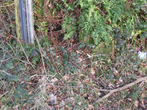 Hillhead boundary stone before... |
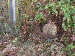 ... and after being uncovered |
Below is a list of all the 1685 boundary stones:
- Stone No 1 was at the eastern end of the medieval bridge (whereabouts now unknown)
- Stone No 2 is located on the edge of the railway embankment behind Pill farm cottages and lime kiln
- Stone No 3 is located in the hedge on the lane that connects Lostwithiel to Castle, near the entrance to Cowbridge)
- Stone No 4 is located on the lane from Lostwithiel to Nomansland (near the entrance to Pelyn)
- Stone No 5 was situated on the A390 from Lostwithiel to St Blazey, (whereabouts now unknown - probably lost upon road widening in the 1950s)
- Stone No 6 was situated at Penknight House (whereabouts now unknown - probably re-used as part of a wall when the house was completely demolished in the 1940s)
- Stone No 7 is situated at the side of the green lane known as Huntingdon lane, from Poldew woods, Tanhouse road towards Lanlivery, this path eventually connecting to the Saints Way.
- Stone No 8 is situated at Hillhead on the road from Lostwithiel towards Sweetshouse
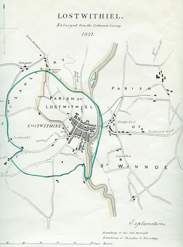
History of the old Borough Bounds, 1685 - 1935